Gros Morne National Park, South Sector Hiking
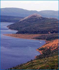
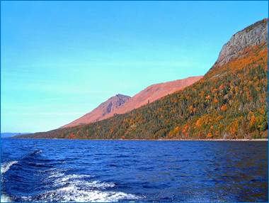
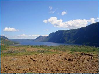
Trout River Pond
There is a hiking trail and a
boat launch at the Trout River Pond Gros Morne National Park area that is very
close to Crocker Cabins. The hiking
trail is about 14 km return. The
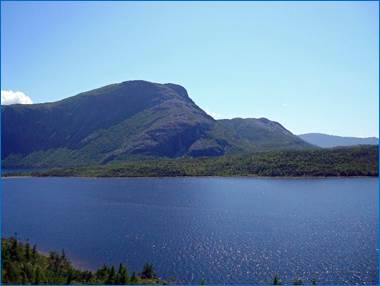
Tablelands are the foundation of Gros Morne National Park’s United Nations
Education, Scientific and Cultural Organization (UNESCO) world heritage site
designation. The unique geological
formation illustrates plate tectonics and geologic processes. It has been used to support the Theory of
Plate Tectonics. The Tablelands were
formed many millions of years ago, when the ancient Iapetus Ocean, experienced
a plate collision that upthrust sections of its floor, along with the Earth’s
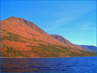
mantle. The orange-brown coloured rock
forming the Tablelands is part of the earth’s mantle, called peridotite. Gros Morne National Park’s Tablelands is one
of the few places on Earth where you can walk on Earth’s mantle.
|
|
|
|
|
|
|||
|
|
|
|
|
|
|
|
|
|
|
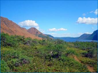
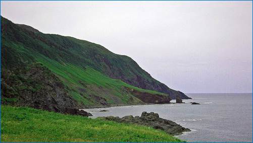
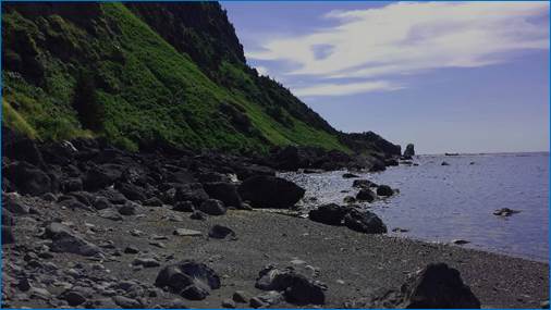
Green Gardens Hiking Trail
The Green Gardens Hiking Trail is on route 431, just 3 km from Trout River. The trail is a 9 km return hike. It leads to the beach, a sea cave that can be entered into at low tide, sea stacks, bright green meadows where people in Trout River keep their sheep in summer, and a waterfall. The trail starts in the barrens and ends at sea level.
|
|
|
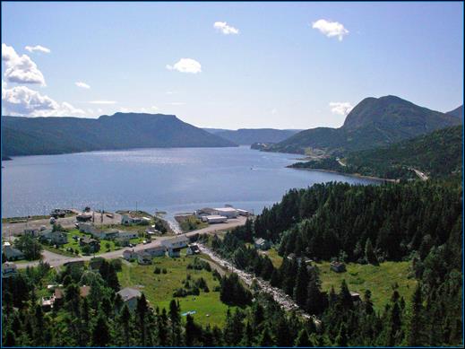
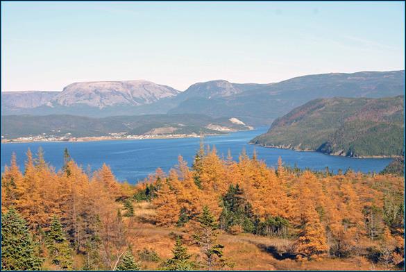
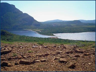
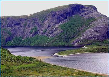
Lookout Hills Trail
The Lookout Hills Trail is accessible from the parking lot of Gros Morne National Park Discovery Centre, on Route 431. The 5 km return hike begins with a steep climb to a high plateau that provides spectacular panoramic views of Bonne Bay, Gros Morne Mountain behind Rocky Harbour and Norris Point, and the Tablelands.
|
|
|